
Geography and standing out in the Tourism Market
In the world of ‘Hospitality we always think of hotel facilities and related physical services , never giving space to the intangible , that is, the emotions that a Territory can provoke in our hypothetical guest.
The reader might ask, immediately, one thing: how do I transfer the information of a Territory into my tourism products .
The techniques are many , but let’s start with the basics; how can I graphically delineate and represent an area , or , an areal around my accommodation.
LET’S TALK ABOUT MAPS
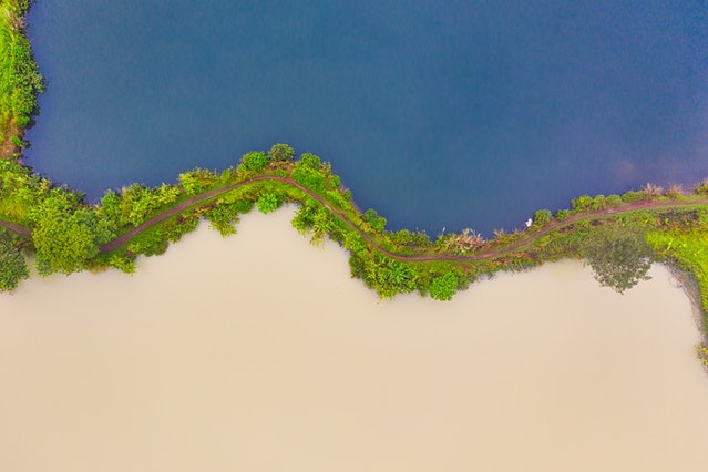
The geographical description of a territory and its cartographic representation have always been one of the most significant “documents” of how people of different times, places and civilizations have perceived the earth’s space. In maps we seek a synthetic representation of reality, a way to make the complexity of the territory intelligible, so the cartographer in order to represent space must necessarily proceed to a simplification of reality, reducing and constraining space within the boundaries drawn by the two conventional coordinates: with Latitude and Longitude the map becomes an abstract “model” of reality even though it expresses the socio-cultural environment in which it was produced .
In this way, the complexity of the observed space is simplified, since from the multiplicity of possible spatial information only a few features are extracted and represented symbolically.
Thus, maps are representations of territorial identities that contribute to the dissemination and sharing of knowledge and cultural communication, in part because each map arises from a set of codified skills both technical and related to the subjectivity of those who emotionally observe a sunset, a beach, a rainbow arc.
Cartography and technological innovations
From the mid-November onward, with the spread of industrialization and the advent of mass production, most goods are produced and sold for a global market that is both increasingly large and increasingly differentiated. Also significant in this context appears to be the path followed by the production of maps, which have moved from a niche demand reserved for small groups, to an increasingly broad and articulated mass demand. Currently, maps represent an indispensable working tool for businesses (resource management, planning, territorial marketing), as they facilitate the analysis of the territory by improving its knowledge through the territorial projection of economic and ecological logics.
According to the well-known theories on cycles of economic development originally elaborated by Kondratiev and re-interpreted in light of technological innovations by Schumpeter, it is advanced in technology that cause real revolutions in production processes and initiate new expansive economic cycles. Applying a cyclical reading to the evolutionary stages of cartographic techniques, we can identify technological “leaps” related to the introduction of inventions and innovations that changed the way and means of representing the world. Changes that were sometimes even radical if we think of the deep gap that divides manually drawn maps from today’s maps based on the adoption of digital and computerized techniques.
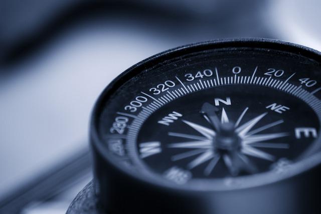
One of the first inventions that radically affected the quality and accuracy of geographic information was the magnetic compass, which not only made navigation safer, and facilitated the measurement of angles from polar coordinates. In short, the most recent technological innovations applied directly to map production were as follows:
- mechanical technologies, with the introduction of machinery that reduces the time and cost of the production process while also increasing output;
- photochemical technologies, which improve the final stage of printing (etching techniques, lithography) and the quality of geographic information (photography);
- computer technologies, which increase the quality and quantity of available geographic data, further reduce the cost and production time of maps at each stage of production, reproduction and updating (computerized cartography, cad, remote sensing) (Favretto, 2000).
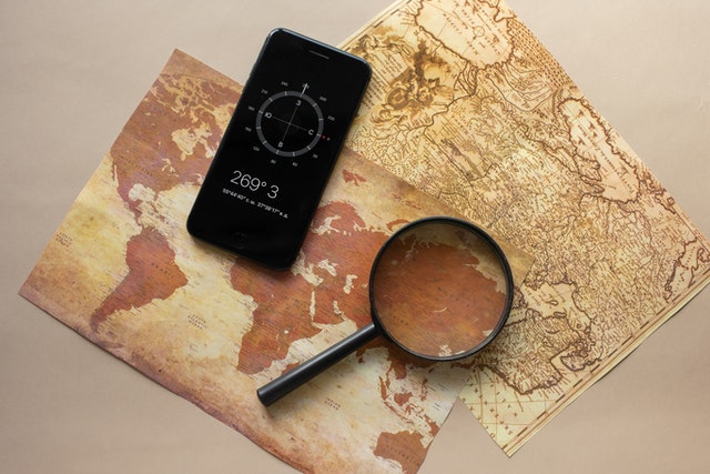
But it is only in the present day, thanks to the introduction of aerial photos (aero-photogrammetry) and satellite remote sensing (remote sensing), that cartographers are receiving an almost continuous flow of information and geographic data that are increasingly numerous, detailed and accurate, a mass of data to be represented graphically even under the pressure of growing demand. The application of computerized technologies to the map production process necessarily entails a qualitative leap in both the “construction” stages and the final moment of reading and interpretation.
This is just a small introduction to a world that we will travel through with many articles, it may seem like just a technical article but let us think about the benefits given by considering the Territory and its composition in information and data to be transmitted to our guests.
The prize is to make yourself unique in that area and to offer packages and products that are absolutely unique and tailored to your accommodation.
In our work we use Cartography as a white paper and try to understand the relationship between various data of the Territory.
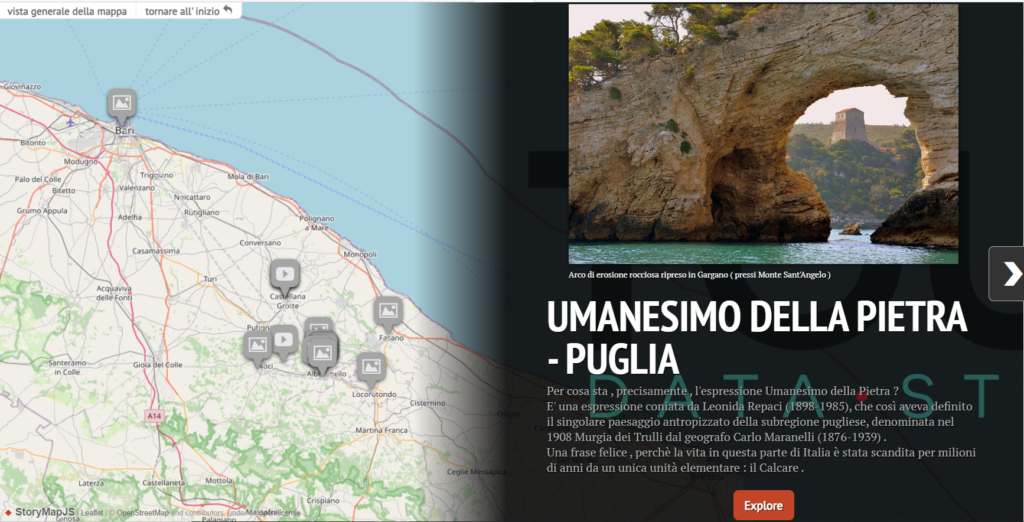
For example, in our UMANESIMO DELLA PIETRA Package, we considered a Network of about 300 points and linked the information to understand how a people and their Territory exploited resources, technologies, and places unique in their union .
Follow me on INSTAGRAM : @a.i.lovetourism


: when the Fiat Campagnola was unveiled at the Fiera del Levante.")


")

